Hiking on Pizol
This is a hike when went on several weeks ago. It was a tough one! I do quite a bit of hiking and lots of working out, so I wasn’t expecting this hike to be as challenging as it was. I don’t know what it was…maybe the altitude or maybe just an ‘off’ day, but I was out of breath the whole time. At the time, I swore I’d never do this hike again. Now, however, I’d like to give it another go to see if I can do better.
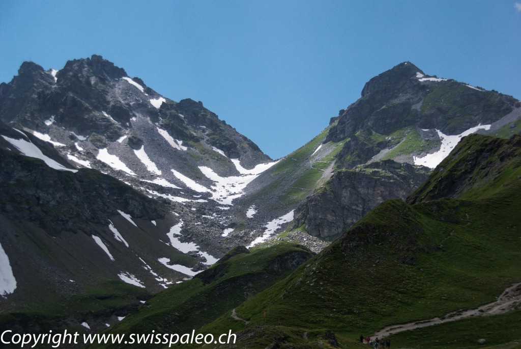
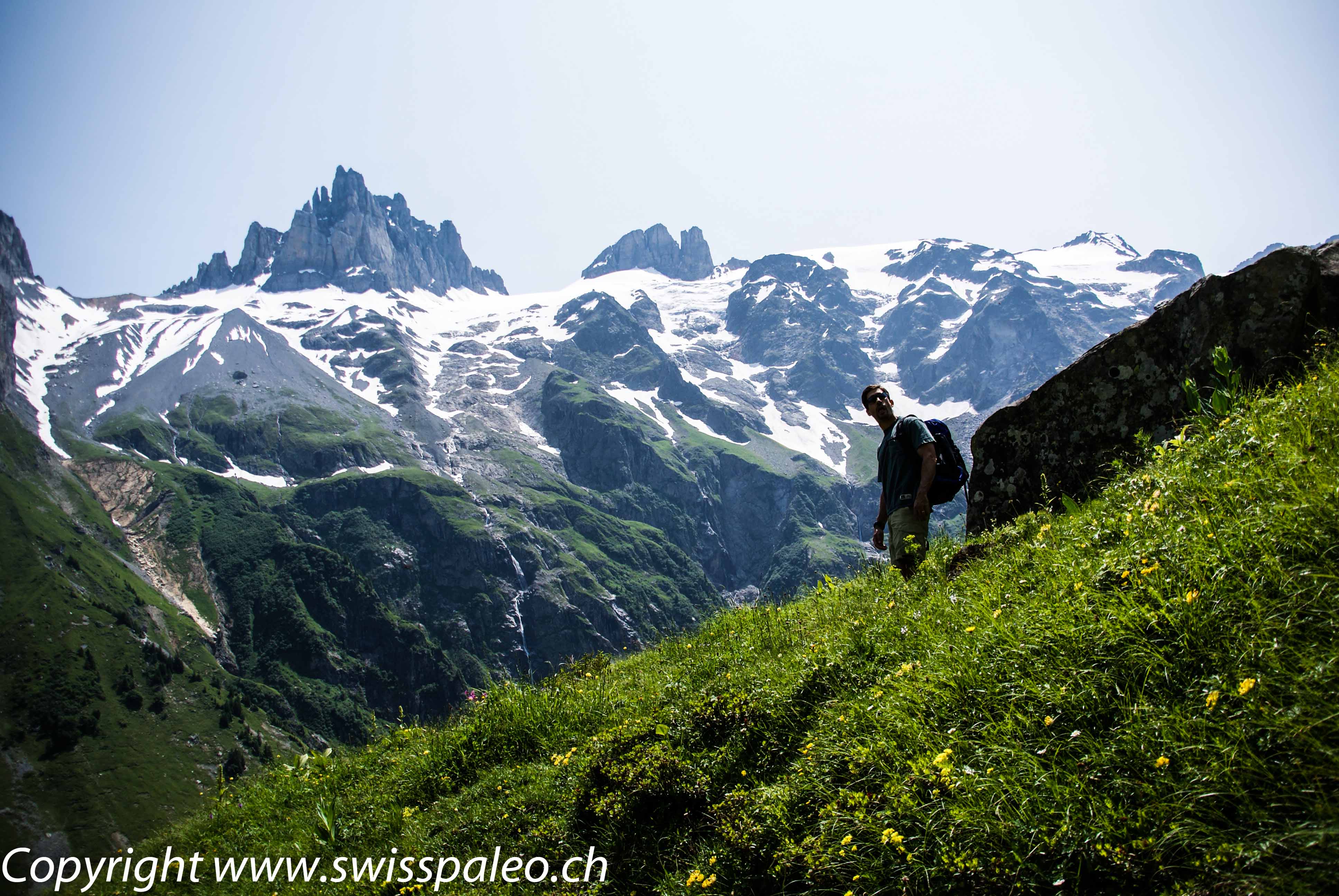
The hike was on Pizol, which is a mountain in the Glarus Alps overlooking Bad Ragaz. It is the highest summit of the chain separating the valleys of the Seez River and the Tamina River and the highest mountain lying entirely within the canton of St. Gallen. For a cool 3-D map of the trail have a look here. To get to the starting point, we had to take a gondola and then two different chair lifts. So, yes, we were already incredibly high when we started our climb and the altitude was killer.
The Pictures
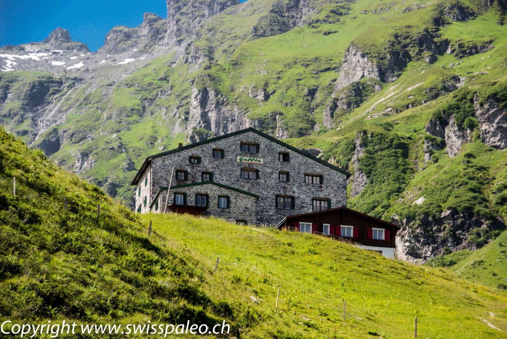
We passed over the Berghotel Gaffia on our way up. You can hike to it and stay the night.
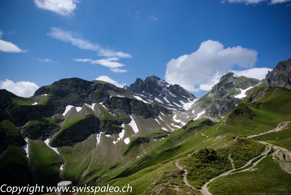
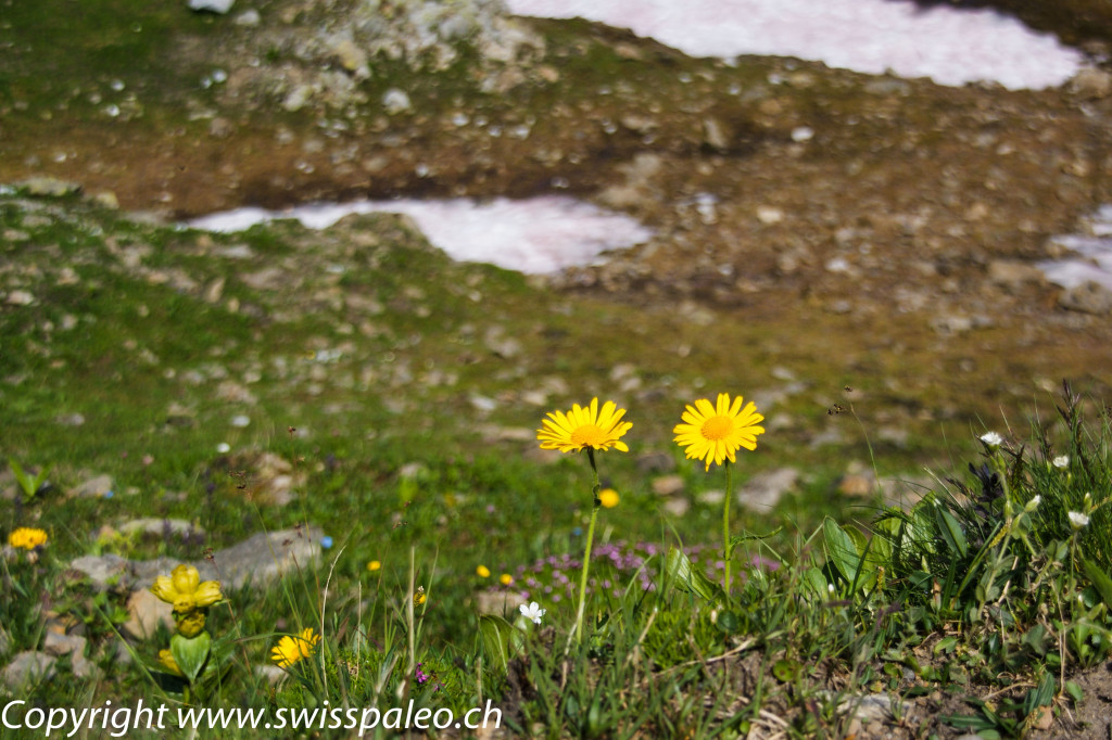
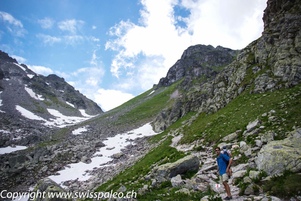
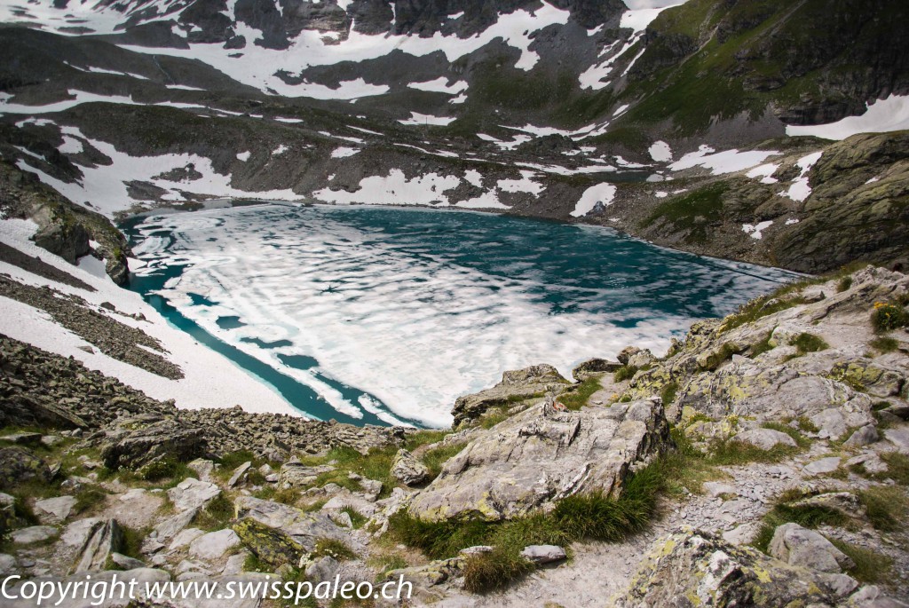
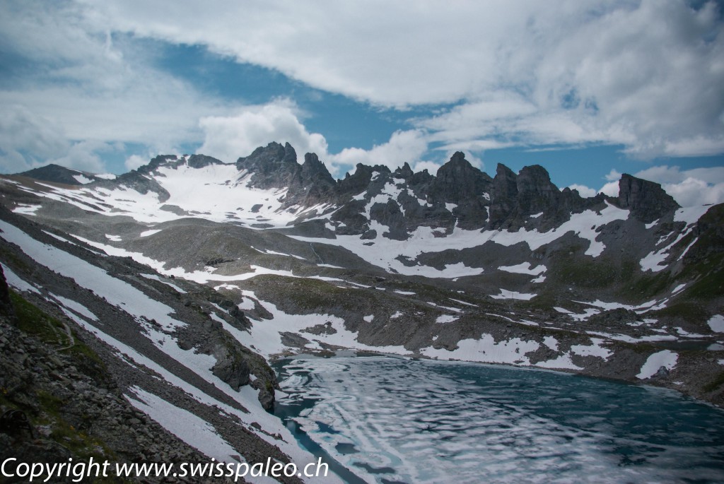
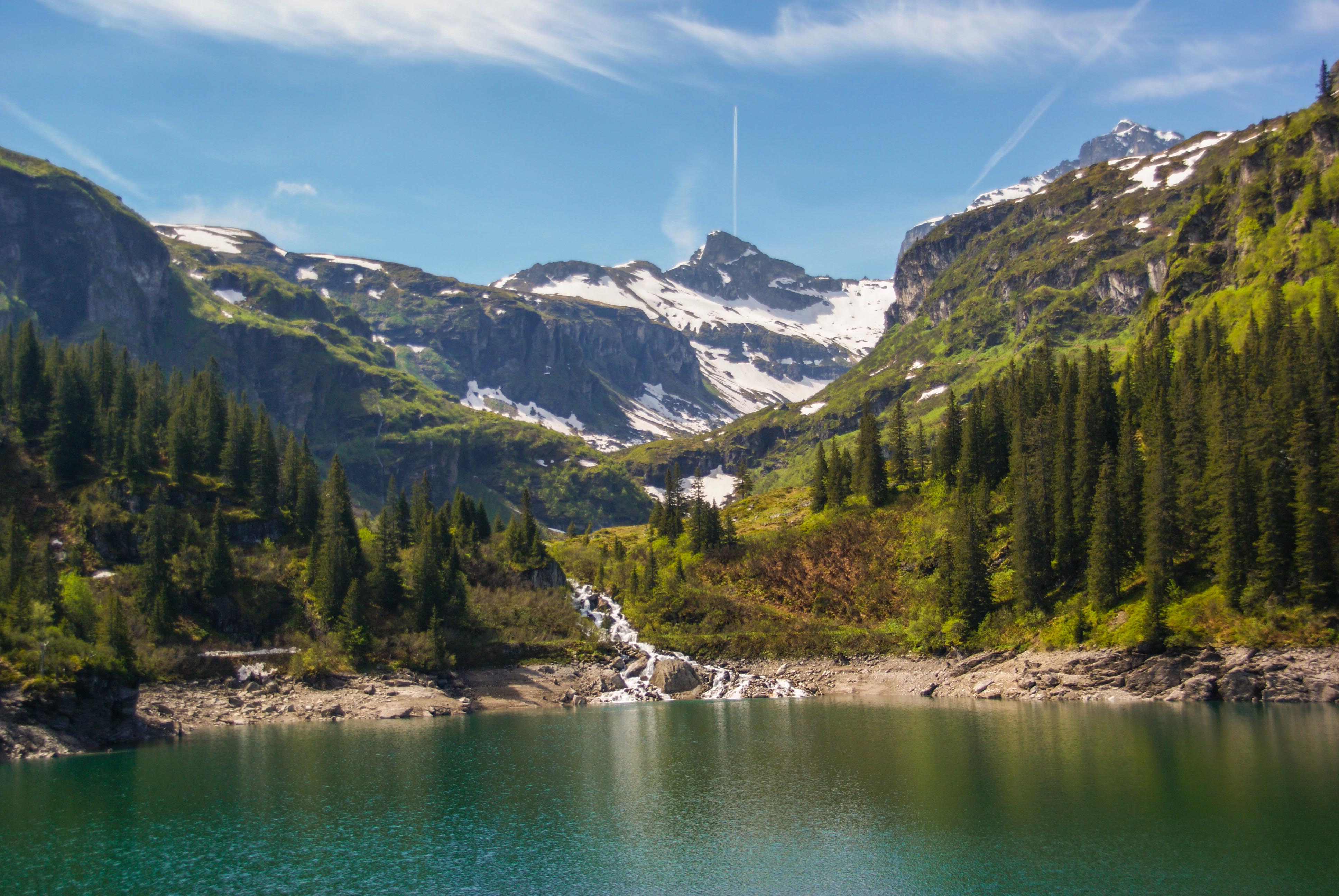
We hiked through several snow fields (in our vibrams!) but there were flowers right alongside the snow.
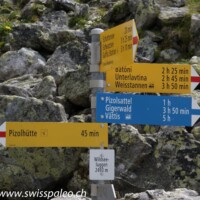
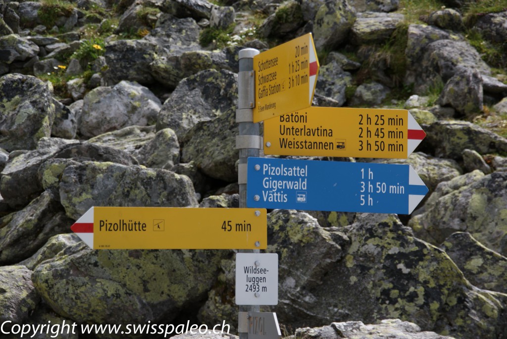
Swiss Alpine hiking trails are so well marked that you will never get lost. They give you a pretty accurate indication of how long it will take you to reach the next point along your hike. Signs that are blue (like below) indicate that you will need mountain climbing gear.
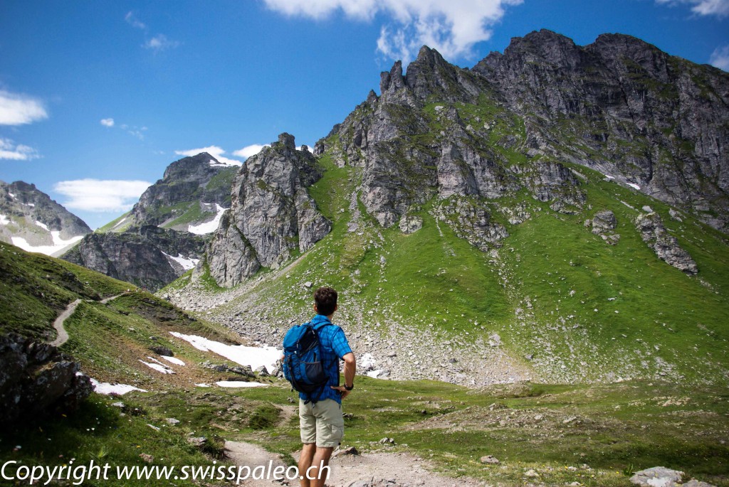
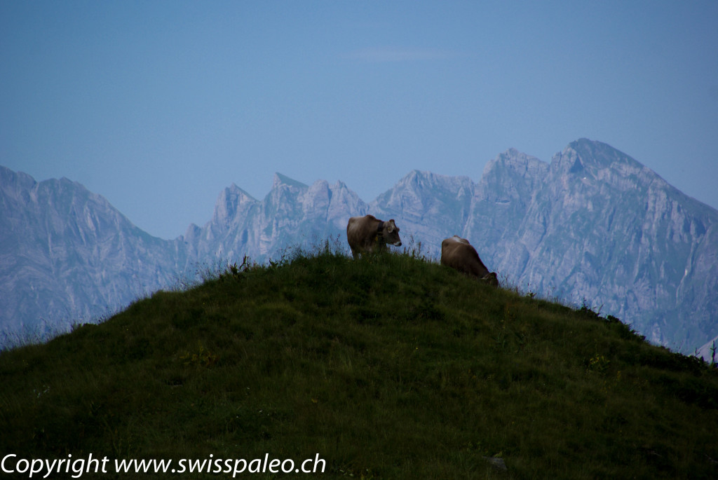
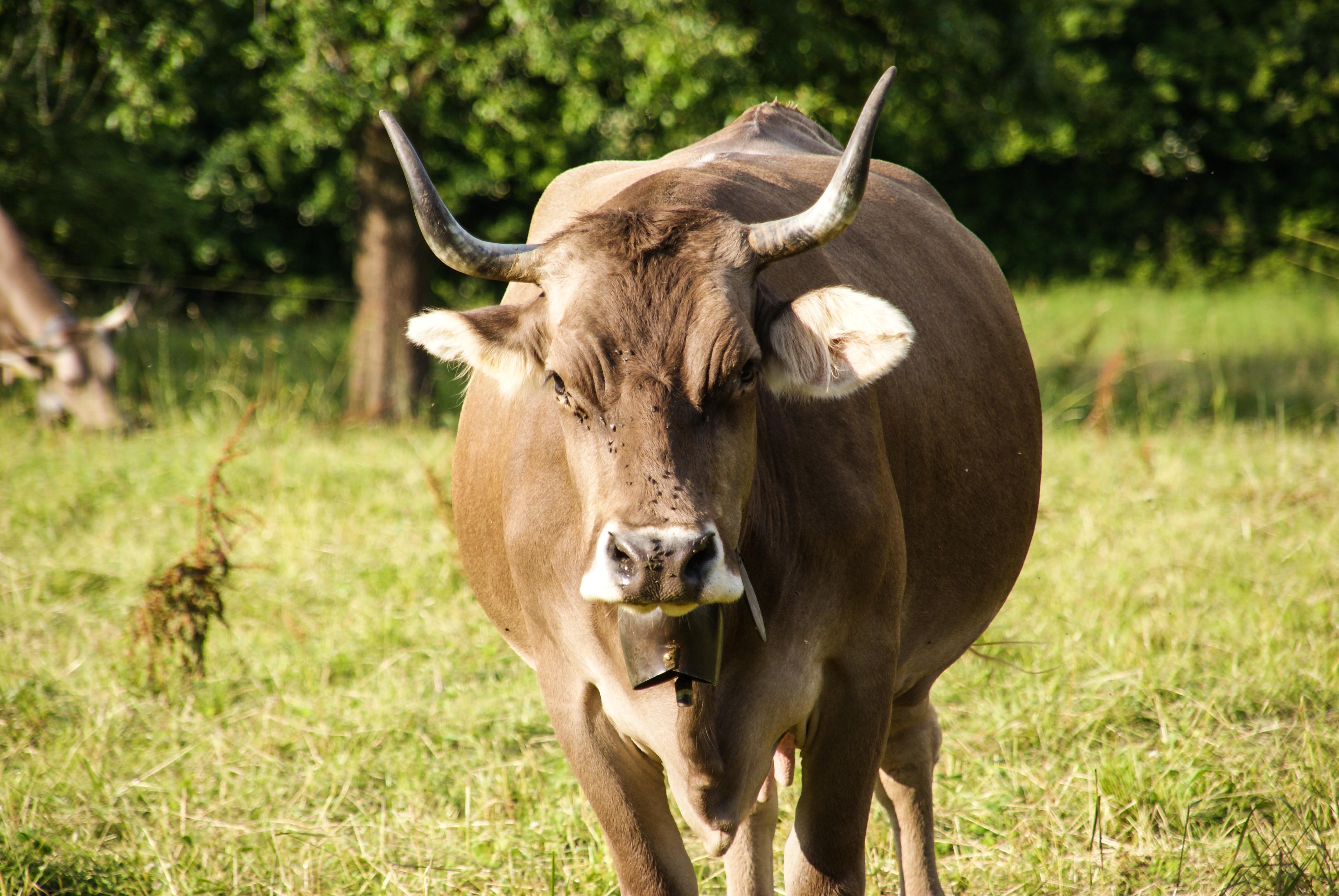
Most of our hike was way up beyond the tree line and beyond the cows. We did, however, pass some cows on our way back down.
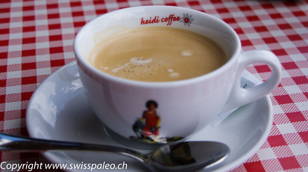
And of course…the obligatory coffee at the end of the day!


Looks so much like the Aosta Valley in Italy where I live. Beautiful pics!
Thanks Laura! Thanks for stopping by the blog 🙂